Maps & How to get here
Statewide Map showing Field’s Point Landing
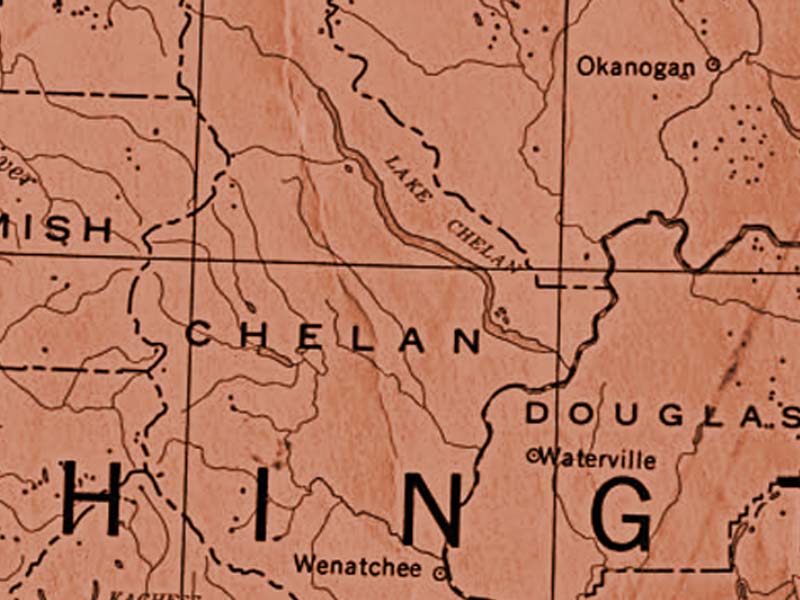
Map of Lake Chelan:
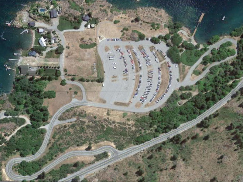
Field’s Point Layout Map:

Turnoff from the South Lakeshore Road to access Field’s Point Landing.
Gated Parking Lot – Field’s Point is gated, and an attendant is on duty during the day when the gate is open.
Parking Area.
Loading Zone. This loop driveway takes you to lake level for easy loading/unloading of your vehicle. Carts are available to transfer your luggage from here to the dock where it will be loaded onto the passenger ferries.
Passenger Ferry Dock. This is where you will board the Passenger Ferries to head to destinations on the upper end of Lake Chelan.
Concession Building. This is where you pay for your parking. There is also a small indoor waiting area, and bathrooms.
Hiking Trails and picnic tables. Enjoy your time waiting for your boat. Or just plan a picnic here. The beautiful views of Lake Chelan are hard to beat!
Driving Directions:
You can type “Field’s Point Landing, Chelan, WA 98816”
into most GPS devices to get directions, but here are the basic directions as well.
From Wenatchee:
Head NORTH on US Hwy 97A for 23 miles.
Turn LEFT onto Navarre Coulee Road. Continue on this road for 9 miles.
Turn LEFT onto S Lakeshore Road. Continue on this road for 7 miles.
Turn RIGHT at the sign for Field’s Point Landing.
From points further away:
Travel by the best route to Wenatchee, and then follow the above directions.
From the North:
Travel to Chelan, WA.
Head out of town to the SOUTHWEST, on Hwy 97A.
Turn RIGHT onto S Lakeshore Road. (approximately 3 miles out of town.)
Continue on S Lakeshore Road for 14 miles.
Turn RIGHT at the sign for Field’s Point Landing.
Do you need to reserve your passenger ferry tickets? Not sure what schedule works best? Find out more about the boat options here:
Chelan.com
We help you find what you need to know about visiting Lake Chelan.


